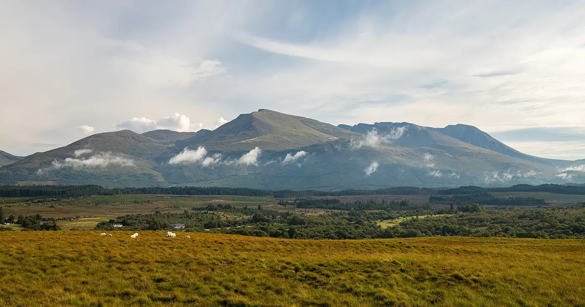

Yes, a fit beginner can climb Ben Nevis by the Mountain Track in good summer conditions, as there is no rock climbing on this route. It is still a big day. The Ben Nevis Visitor Centre says most walkers take seven to eight hours for the round trip of about 10 miles (16 km), and the mountain is 1,345 metres high, starting from close to sea level. In cloud, the top becomes a real navigation problem, and in winter conditions, this is no place for a beginner at all.
Who should think twice
The question to ask yourself is not whether you can get up. It is whether you can get down again when you are tired, in rain, on a rough stone path, with your knees complaining, and four hours still to go. If your longest walk to date is a couple of hours on a good path, go and do a full day out on steep ground first. Hard-won fitness counts for a lot on this hill, but so does knowing how your body reacts to eight hours of walking.
You should also be honest about navigation. The Visitor Centre says a map and compass are essential, because visibility can fall to a few metres. If you cannot use them, either learn first, or wait for a truly clear day and be prepared to turn round at the first sign of cloud on the top. Do not rely on following other people, or on your phone, since the signal is patchy and batteries die in the cold.
The walk, section by section
- Glen Nevis to the lochan. The track climbs from the Visitor Centre, or from Achintee on the other side of the river, and traverses the hillside above the glen. It is steep, stepped and stony in places. There is little to warm up on, so start slower than you want to. On a hot day, this section can be surprisingly tiring.
- The halfway lochan. The path reaches the broad col with Lochan Meall an t-Suidhe. A good place for a snack and a check on the weather. If the top is in thick cloud and you are unsure about your navigation, it is also a good place to decide this is far enough.
- Red Burn and the zigzags. After crossing the Red Burn, the path turns into a long series of zigzags over loose stones. This is the slog, and it goes on for a long time. The Burn can be dangerous in spate, and the area is a known avalanche risk in winter.
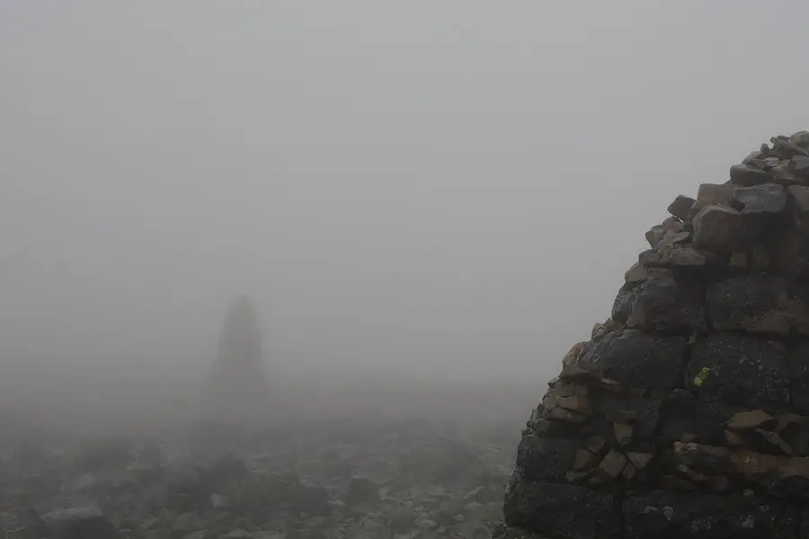
- The summit plateau. The ground eases into a wide, stony plateau marked with cairns, and it can be much colder and windier here than in the glen. The ruins of the old weather observatory sit near the summit trig point. To the north, the cliffs of the North Face fall away abruptly.

The dangerous part: leaving the summit
Going down from the top in poor visibility is the crux of the whole day. The route off the plateau passes between two serious hazards: Gardyloo Gully, cutting into the plateau close to the summit on the north side, and Five Finger Gully on the south-west side, which has drawn walkers off the correct line. Snow and cornices make both of them worse.
Ben-Nevis.com and other guidance give the same sequence of grid bearings from the summit trig point: 231 degrees for 150 metres, then 282 degrees to reach the Mountain Track. These are grid bearings, so you need to adjust for magnetic variation, and you need to pace the distance. Treat them as something to check on your own map before the trip, and practise the skill somewhere safer. Do not simply copy them onto your hand.
If you reach the summit plateau and find you cannot see the next cairn, you should stop and think hard about what you are doing. Going back down the way you came, while you can still see the path, is always a good decision.
What to pack
The Visitor Centre's list starts with a map and compass, and at least two litres of water per person on a sunny day, as the stream water is untested. There are no toilets on the mountain and no bins, so everything comes back with you. To that we would add the ordinary kit for a Scottish summit, even in July:
Wearing
Proper walking boots or shoes with good grip, and layers you can change on the move. Avoid cotton.
In the bag
Full waterproofs, a warm hat and gloves, an extra warm layer, more food than you think you need, and a head torch.
For things going wrong
A charged phone, a first-aid kit, a survival bag or blanket and a whistle. Tell someone your route and when you expect to be back.
Dogs are allowed, ideally on a lead. Sheep graze up to about 700 metres, and the sharp scree near the top can hurt their paws. The Visitor Centre's FAQs say groups of ten or more must register, so check that page if you are bringing a party.
Reading the weather
Read a proper mountain forecast rather than the one on your phone. The Mountain Weather Information Service has a West Highlands forecast that includes Ben Nevis, and the Visitor Centre can show you the current report. The Met Office also publishes mountain forecasts. Pay attention to wind speed at summit height and the cloud base, and remember that a forecast is not a promise.
Late spring and summer offer the best chance for a first ascent, but old snow can linger on the plateau into summer. When there is snow or ice on the path, this is a winter mountaineering route that needs an ice axe, crampons and the skill to use them. The Scottish Avalanche Information Service covers the Lochaber area during the winter season. If that is not you, choose a lower hill, or hire a qualified guide.
Making the day easier
- Start early. It gives you the option to turn around without having to rush in the dusk.
- Set a turnaround time before you leave and stick to it, wherever you are on the hill.
- Eat and drink before you are hungry or thirsty.
- Be ready for midges in the glen on a still morning or evening. Our midge and tick guide has the details.
If something goes wrong, call 999, ask for the police and then mountain rescue. Be ready to give your location.
Plenty of people pair this walk with something longer. If you are finishing the West Highland Way in Fort William, consider giving your legs a rest day first. If you would rather sleep out in the area, read our notes on wild camping before you go.
Checked against
- Ben Nevis Visitor Centre: Tackling the Ben FAQs
- Mountain Weather Information Service: West Highlands
- Ben-Nevis.com: navigation on Ben Nevis
We have no commercial link with any source named here. Spotted something out of date? Tell us at [email protected].